 vesseltracker.com
 KRISTA
Current Status
Where is the vessel?
KRISTA is currently in Near Bekkeri, based on AIS data received about 1d ago.
Latest AIS update:
Current position: 59.46076° N, 24.65157° E (Near Bekkeri)
Average speed (last 7 days): Loading…
Average speed (last 30 days): Loading…
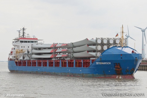
Vessel profile: KRISTA is a General Cargo with dimensions 116m x 16m.
This page combines live AIS, route history, probable destination signals, nearby traffic, and port activity for practical vessel monitoring.
The current position of vessel KRISTA is 59.46076 lat / 24.65157 lng. Updated: 2026-04-10 07:44:42 UTCNearest reference points:
- Near Vanasadam
- Near Aegna
- Near Nurme
Currently sailing under the flag of Antigua Barbuda ![]()
KRISTA built in 2008 year
Deadweight:
6408 tDetails:
Live Vessel KRISTA Analytics (details, animations, etc.)
Recent AIS points (UTC):
2026-04-10 02:10:32 UTC · 59.46081, 24.65156 · SOG 0 kn · COG 31°2026-04-10 04:01:34 UTC · 59.46086, 24.65153 · SOG 0 kn · COG 32°
2026-04-10 05:31:32 UTC · 59.46085, 24.65155 · SOG 0 kn · COG 32°
2026-04-10 07:44:42 UTC · 59.46076, 24.65157 · SOG 0 kn · COG 32°