 vesseltracker.com
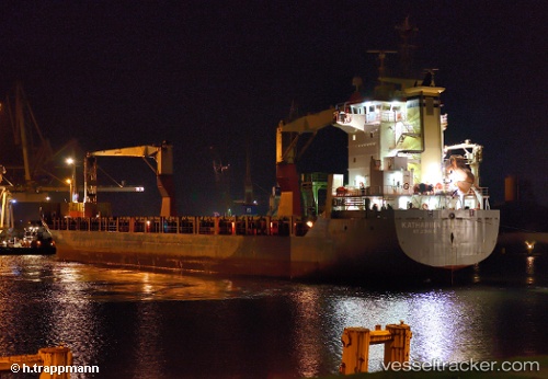
Vessel Onego Elbe IMO: 9438573, MMSI: 305305000 Multi Purpose Carrier
UTC, 30.71393, -88.04414, course: 119, speed: 0
UTC, 30.71333, -88.04333, course: -1, speed: 0
2026-02-04 04:03:02 UTC, 30.71393, -88.04413, course: 119, speed: 0
Live AIS position:
UTC. Near Mobile),
updated 2026-02-04 04:03:02 UTC.
Find the position of the vessel Onego Elbe on the map. The latter are known coordinates and path.
marine traffic ship tracker show on live map
The current position of vessel Onego Elbe is 30.71393 lat / -88.04413 lng. Updated: 2026-02-04 04:03:02 UTCCurrently sailing under the flag of Antigua Barbuda
Onego Elbe built in 2008 year
Deadweight:
11083 tDetails:
Last coordinates of the vessel:
UTC, 30.71393, -88.04413, course: 119, speed: 0UTC, 30.71393, -88.04414, course: 119, speed: 0
UTC, 30.71333, -88.04333, course: -1, speed: 0
2026-02-04 04:03:02 UTC, 30.71393, -88.04413, course: 119, speed: 0