 vesseltracker.com
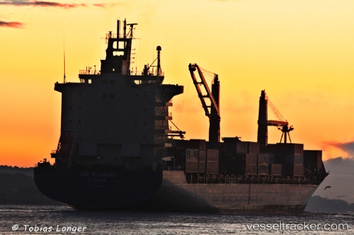
As Carlotta
Current StatusWhere is the vessel?
As Carlotta is currently in 98 nm W of Bangui, based on AIS data received about 1h ago.
Latest AIS update:
Current position: 19.05662° N, 119.11938° E (98 nm W of Bangui)
Average speed (last 7 days): Loading…
Average speed (last 30 days): Loading…
Vessel profile: As Carlotta is a Container Ship with dimensions 28m x 222m.
This page combines live AIS, route history, probable destination signals, nearby traffic, and port activity for practical vessel monitoring.
The current position of vessel As Carlotta is 19.05662 lat / 119.11938 lng. Updated: 2026-04-07 09:51:52 UTCNearest reference points:
- 132 nm SW of Kaohsiung
- 22 nm W of Salomague
- 106 nm W of Basco
Details:
Live Vessel As Carlotta Analytics (details, animations, etc.)
Recent AIS points (UTC):
2026-04-07 04:11:29 UTC · 18.03447, 117.83554 · SOG 17 kn · COG 48°2026-04-07 05:43:24 UTC · 18.32167, 118.16833 · SOG 16 kn · COG -1°
2026-04-07 07:20:14 UTC · 18.60908, 118.52421 · SOG 17 kn · COG -1°
2026-04-07 09:51:52 UTC · 19.05662, 119.11938 · SOG 17 kn · COG 44°