 vesseltracker.com
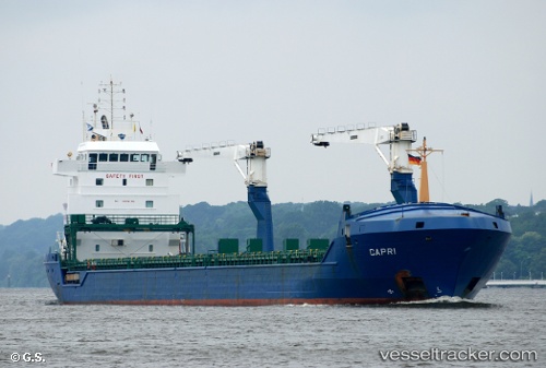
Find the position of the vessel Onego Capri on the map. The latter are known coordinates and path.
marine traffic ship tracker show on live map
The current position of vessel Onego Capri is 45.45128 lat / 12.25728 lng. Updated: 2025-10-18 22:40:58 UTCCurrently sailing under the flag of Antigua Barbuda
Onego Capri built in 2002 year
Deadweight:
10273 tDetails:
Last coordinates of the vessel:
UTC, 45.45124, 12.25737, course: 199, speed: 0UTC, 45.45125, 12.25735, course: 199, speed: 0
UTC, 45.45127, 12.25733, course: 199, speed: 0
2025-10-18 22:40:58 UTC, 45.45128, 12.25728, course: 199, speed: 0
Track of the vessel in the last 14 days