 vesseltracker.com
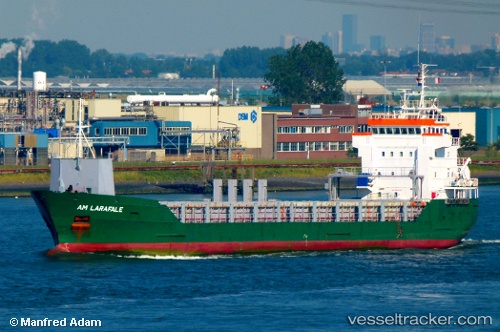
Vessel KAURI IMO: 9173226, MMSI: 305633000 General Cargo
UTC, 53.90221, 11.46287, course: 277, speed: 0
UTC, 53.90221, 11.46287, course: 278, speed: 0
2026-01-27 20:18:12 UTC, 53.90223, 11.46285, course: 278, speed: 0
Live AIS position:
UTC. Near Wismar),
updated 2026-01-27 20:18:12 UTC.
Find the position of the vessel KAURI on the map. The latter are known coordinates and path.
marine traffic ship tracker show on live map
The current position of vessel KAURI is 53.90223 lat / 11.46285 lng. Updated: 2026-01-27 20:18:12 UTCCurrently sailing under the flag of Antigua Barbuda
KAURI built in 1998 year
Deadweight:
4951 tDetails:
Last coordinates of the vessel:
UTC, 53.90225, 11.46287, course: 278, speed: 0UTC, 53.90221, 11.46287, course: 277, speed: 0
UTC, 53.90221, 11.46287, course: 278, speed: 0
2026-01-27 20:18:12 UTC, 53.90223, 11.46285, course: 278, speed: 0