 vesseltracker.com
Find the position of the vessel Marus on the map. The latter are known coordinates and path.
marine traffic ship tracker show on live map
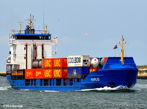
The current position of vessel Marus is 53.35302 lat / 7.19885 lng. Updated: 2025-10-26 07:14:16 UTCCurrently sailing under the flag of Antigua Barbuda
Marus built in 1996 year
Deadweight:
3950 tDetails:
Last coordinates of the vessel:
UTC, 53.35302, 7.19895, course: 211, speed: 0UTC, 53.35302, 7.19889, course: 212, speed: 0
UTC, 53.35303, 7.19885, course: 212, speed: 0
2025-10-26 07:14:16 UTC, 53.35302, 7.19885, course: 211, speed: 0