 vesseltracker.com
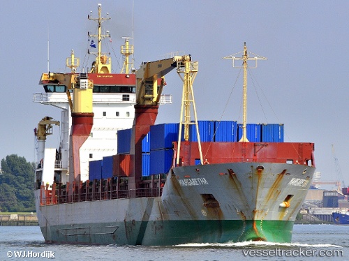
Vessel Margaretha IMO: 9240548, MMSI: 305931000 Multi Purpose Carrier
UTC, 36.71056, -4.41438, course: 342, speed: 0.1
UTC, 36.71059, -4.41441, course: 342, speed: 0.1
2026-02-04 15:25:32 UTC, 36.71054, -4.41443, course: 342, speed: 0.1
Live AIS position:
UTC. Near Yunquera),
updated 2026-02-04 15:25:32 UTC.
Find the position of the vessel Margaretha on the map. The latter are known coordinates and path.
marine traffic ship tracker show on live map
The current position of vessel Margaretha is 36.71054 lat / -4.41443 lng. Updated: 2026-02-04 15:25:32 UTCCurrently sailing under the flag of Antigua Barbuda
Margaretha built in 2002 year
Deadweight:
10526 tDetails:
Last coordinates of the vessel:
UTC, 36.71050, -4.41440, course: 343, speed: 0UTC, 36.71056, -4.41438, course: 342, speed: 0.1
UTC, 36.71059, -4.41441, course: 342, speed: 0.1
2026-02-04 15:25:32 UTC, 36.71054, -4.41443, course: 342, speed: 0.1