 vesseltracker.com
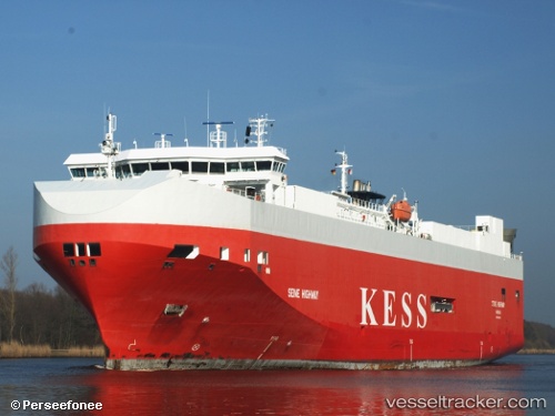
Find the position of the vessel Seine Highway on the map. The latter are known coordinates and path.
marine traffic ship tracker show on live map
The current position of vessel Seine Highway is 59.164223333333 lat / 17.664576666667 lng. Updated: 2025-09-14 11:34:52 UTCCurrently sailing under the flag of Bahamas
Seine Highway built in 2007 year
Deadweight:
8100 tDetails:
Last coordinates of the vessel:
UTC, 59.164221666667, 17.664566666667, course: 154, speed: 0UTC, 59.16421, 17.664546666667, course: 154, speed: 0
UTC, 59.164235, 17.664576666667, course: 154, speed: 0
2025-09-14 11:34:52 UTC, 59.164223333333, 17.664576666667, course: 154, speed: 0