 vesseltracker.com
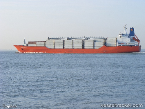
Charles Island
Current StatusWhere is the vessel?
Charles Island is currently in 12 nm SE of Saint Leonards-on-Sea, based on AIS data received about 2h ago.
Latest AIS update:
Current position: 50.71597° N, 0.80038° E (12 nm SE of Saint Leonards-on-Sea)
Average speed (last 7 days): Loading…
Average speed (last 30 days): Loading…
Vessel profile: Charles Island is a Refrigerated Cargo Ship with dimensions 25m x 180m.
This page combines live AIS, route history, probable destination signals, nearby traffic, and port activity for practical vessel monitoring.
The current position of vessel Charles Island is 50.71597 lat / 0.80038 lng. Updated: 2026-03-27 03:51:24 UTCNearest reference points:
- Near Saint Leonards-on-Sea
- Near Dungeness
- 23 nm S of Poling
Details:
Live Vessel Charles Island Analytics (details, animations, etc.)
Recent AIS points (UTC):
2026-03-26 22:17:56 UTC · 51.36652, 2.77141 · SOG 13 kn · COG 280°2026-03-26 23:48:12 UTC · 51.36172, 2.17600 · SOG 17.8 kn · COG 289°
2026-03-27 01:51:47 UTC · 51.05742, 1.45718 · SOG 17.7 kn · COG 234°
2026-03-27 03:51:24 UTC · 50.71597, 0.80038 · SOG 16.2 kn · COG 236°