 vesseltracker.com
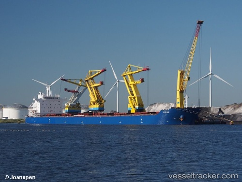
Vessel Atlas IMO: 9538177, MMSI: 311000134 Chemical Oil Products Tanker
UTC, 45.43657, 12.21677, course: 336, speed: 0
UTC, 45.43652, 12.21677, course: 336, speed: 0
2026-03-14 15:21:04 UTC, 45.43655, 12.21676, course: 336, speed: 0
Live Vessel Atlas Analytics (details, animations, etc.)
Live AIS position: UTC. Near Malcontenta), updated 2026-03-14 15:21:04 UTC.Find the position of the vessel Atlas on the map. The latter are known coordinates and path.
marine traffic ship tracker show on live map
The current position of vessel Atlas is 45.43655 lat / 12.21676 lng. Updated: 2026-03-14 15:21:04 UTCDetails:
Last coordinates of the vessel:
UTC, 45.43655, 12.21679, course: 336, speed: 0UTC, 45.43657, 12.21677, course: 336, speed: 0
UTC, 45.43652, 12.21677, course: 336, speed: 0
2026-03-14 15:21:04 UTC, 45.43655, 12.21676, course: 336, speed: 0