 vesseltracker.com
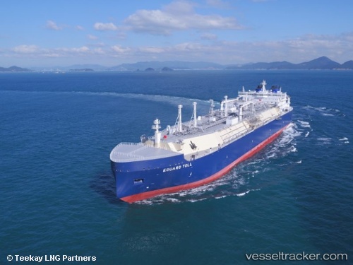
Find the position of the vessel Eduard Toll on the map. The latter are known coordinates and path.
marine traffic ship tracker show on live map
The current position of vessel Eduard Toll is 43.46388 lat / -8.23924 lng. Updated: 2025-11-19 05:47:47 UTCCurrently sailing under the flag of Bahamas
Details:
Last coordinates of the vessel:
UTC, 43.46391, -8.23923, course: 279, speed: 0UTC, 43.46387, -8.23918, course: 276, speed: 0
UTC, 43.46391, -8.23921, course: 279, speed: 0
2025-11-19 05:47:47 UTC, 43.46388, -8.23924, course: 279, speed: 0
Track of the vessel in the last 14 days
The ship also appears on the maps:
- Ice Class LNG Tankers \'\'Novatek\'\' & RUSSIAN nuclear icebreakers
- Танкеры LNG (Arc7) на 20.06.2022
- СМП-2022 (06.07.2022)
- СМП-2022 (10.07.2022)
- Eduard Toll, рейс июнь 2023
- Yamalmax Ямалмакс Танкеры
- Танкеры, которые могут возить природный газ (СПГ) добытый на территории Российской Федерации
- Газовозы Н
- NSR Eduard Toll
- NSR Eduard Toll
- CHRISTOPHE DE MARGERIE
- LNG NSR 2024
- NSR Permits 2024
- LNG NSR 2024
- СМП
- Ледоколы Атом