 vesseltracker.com
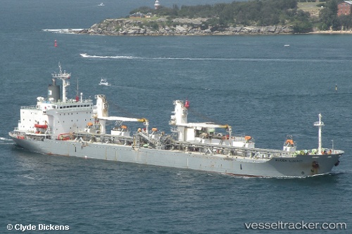
Luga
Current StatusWhere is the vessel?
Luga is currently in 22 nm NE of Gladesville, based on AIS data received about 1d ago.
Latest AIS update:
Current position: 33.50440° S, 152.51996° E (22 nm NE of Gladesville)
Average speed (last 7 days): Loading…
Average speed (last 30 days): Loading…
Vessel profile: Luga is a Cement Carrier with dimensions 28m x 170m.
This page combines live AIS, route history, probable destination signals, nearby traffic, and port activity for practical vessel monitoring.
The current position of vessel Luga is -33.50440 lat / 152.51996 lng. Updated: 2026-04-10 07:40:15 UTCNearest reference points:
- Near Caves Beach
- Near Warners Bay
- Near BILGOLA PLATEAU
Details:
Live Vessel Luga Analytics (details, animations, etc.)
Recent AIS points (UTC):
2026-04-10 02:36:34 UTC · -33.40469, 152.52203 · SOG 1.4 kn · COG 136°2026-04-10 03:34:13 UTC · -33.42547, 152.52435 · SOG 1.1 kn · COG 125°
2026-04-10 06:16:03 UTC · -33.47796, 152.52107 · SOG 1 kn · COG 131°
2026-04-10 07:40:15 UTC · -33.50440, 152.51996 · SOG 4 kn · COG 356°