 vesseltracker.com
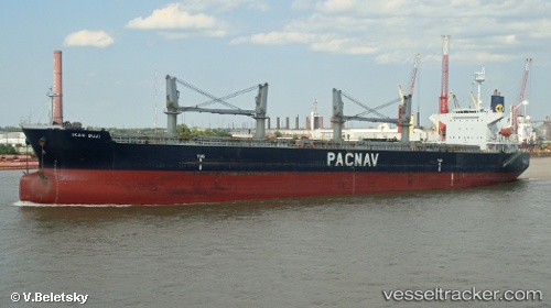
 MERAKLIS
Current Status
Where is the vessel?
MERAKLIS is currently in 77 nm SW of Harper, based on AIS data received about 2h ago.
Latest AIS update:
Current position: 3.43482° N, 8.60494° W (77 nm SW of Harper)
Average speed (last 7 days): Loading…
Average speed (last 30 days): Loading…
Vessel profile: MERAKLIS is a Bulk Carrier with dimensions 32m x 190m.
This page combines live AIS, route history, probable destination signals, nearby traffic, and port activity for practical vessel monitoring.
The current position of vessel MERAKLIS is 3.43482 lat / -8.60494 lng. Updated: 2026-03-29 05:48:28 UTCNearest reference points:
- 98 nm SW of Harper
- 160 nm S of Harper
- 110 nm SW of River Cess
Currently sailing under the flag of Bahamas ![]()
MERAKLIS built in 2001 year
Deadweight:
50296 tDetails:
Live Vessel MERAKLIS Analytics (details, animations, etc.)
Recent AIS points (UTC):
2026-03-29 00:08:18 UTC · 3.41188, -7.90930 · SOG 9.1 kn · COG 269°2026-03-29 01:07:39 UTC · 3.41616, -8.05555 · SOG 8.9 kn · COG 269°
2026-03-29 03:25:19 UTC · 3.42340, -8.24831 · SOG 9 kn · COG 269°
2026-03-29 05:48:28 UTC · 3.43482, -8.60494 · SOG 9.2 kn · COG 268°