 vesseltracker.com
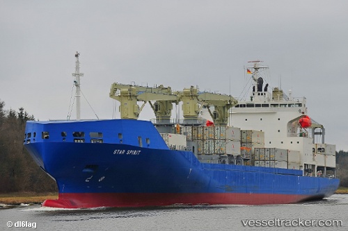
 STAR SPIRIT
Current Status
Where is the vessel?
STAR SPIRIT is currently in 16 nm N of Thorntonbank, based on AIS data received about 1h ago.
Latest AIS update:
Current position: 51.89312° N, 2.77843° E (16 nm N of Thorntonbank)
Average speed (last 7 days): Loading…
Average speed (last 30 days): Loading…
Vessel profile: STAR SPIRIT is a Cargo with dimensions m x m.
This page combines live AIS, route history, probable destination signals, nearby traffic, and port activity for practical vessel monitoring.
The current position of vessel STAR SPIRIT is 51.89312 lat / 2.77843 lng. Updated: 2026-04-07 21:50:00 UTCNearest reference points:
- 21 nm S of Craven Arms
- Near Hunsdon
- Near Thorntonbank
Currently sailing under the flag of Bahamas ![]()
Details:
Live Vessel STAR SPIRIT Analytics (details, animations, etc.)
Recent AIS points (UTC):
2026-04-07 16:22:06 UTC · 50.70677, 1.33128 · SOG 17.3 kn · COG 23°2026-04-07 17:51:30 UTC · 51.08093, 1.68158 · SOG 17.2 kn · COG 50°
2026-04-07 19:56:11 UTC · 51.49889, 2.26828 · SOG 16.4 kn · COG 33°
2026-04-07 21:50:00 UTC · 51.89312, 2.77843 · SOG 15.6 kn · COG 51°