 vesseltracker.com
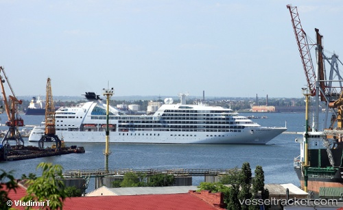
Vessel Seabourn Quest IMO: 9483126, MMSI: 311038900 Cruise Ship
UTC, -39.05239, 147.27753, course: 71, speed: 10.1
UTC, -39.01640, 147.40254, course: 70, speed: 10.2
2026-01-17 05:36:25 UTC, -38.90027, 147.82080, course: 70, speed: 9.6
Live AIS position:
UTC. 60 nm SE of Wurruk),
updated 2026-01-17 05:36:25 UTC.
Find the position of the vessel Seabourn Quest on the map. The latter are known coordinates and path.
marine traffic ship tracker show on live map
The current position of vessel Seabourn Quest is -38.90027 lat / 147.82080 lng. Updated: 2026-01-17 05:36:25 UTCCurrently sailing under the flag of Bahamas
Seabourn Quest built in 2011 year
Deadweight:
5000 tDetails:
Last coordinates of the vessel:
UTC, -39.12765, 147.01627, course: 73, speed: 7.5UTC, -39.05239, 147.27753, course: 71, speed: 10.1
UTC, -39.01640, 147.40254, course: 70, speed: 10.2
2026-01-17 05:36:25 UTC, -38.90027, 147.82080, course: 70, speed: 9.6