 vesseltracker.com
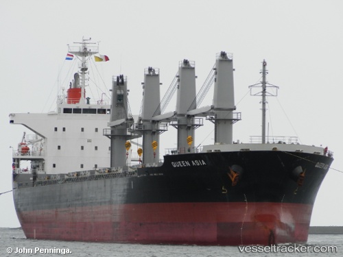
 GLIMLIT
Current Status
Where is the vessel?
GLIMLIT is currently in Near Saraylar, based on AIS data received about 1h ago.
Latest AIS update:
Current position: 40.73461° N, 27.55098° E (Near Saraylar)
Average speed (last 7 days): Loading…
Average speed (last 30 days): Loading…
Vessel profile: GLIMLIT is a Bulk Carrier with dimensions m x m.
This page combines live AIS, route history, probable destination signals, nearby traffic, and port activity for practical vessel monitoring.
The current position of vessel GLIMLIT is 40.73461 lat / 27.55098 lng. Updated: 2026-04-10 01:47:09 UTCNearest reference points:
- Near Saraylar
- Near TEKIRDAG
- Near Sarköy
Currently sailing under the flag of Barbados ![]()
Details:
Live Vessel GLIMLIT Analytics (details, animations, etc.)
Recent AIS points (UTC):
2026-04-09 19:46:00 UTC · 40.91374, 28.82682 · SOG 9.9 kn · COG 251°2026-04-09 22:06:19 UTC · 40.84784, 28.33894 · SOG 9.8 kn · COG 263°
2026-04-09 23:47:41 UTC · 40.80770, 27.98761 · SOG 9.8 kn · COG 259°
2026-04-10 01:47:09 UTC · 40.73461, 27.55098 · SOG 10.4 kn · COG 245°