 vesseltracker.com
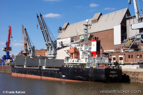
 LEADER M
Current Status
Where is the vessel?
LEADER M is currently in 13 nm N of Mirfa, based on AIS data received about 1h ago.
Latest AIS update:
Current position: 25.67598° N, 53.54837° E (13 nm N of Mirfa)
Average speed (last 7 days): Loading…
Average speed (last 30 days): Loading…
Vessel profile: LEADER M is a Bulk Carrier with dimensions m x m.
This page combines live AIS, route history, probable destination signals, nearby traffic, and port activity for practical vessel monitoring.
The current position of vessel LEADER M is 25.67598 lat / 53.54837 lng. Updated: 2026-04-15 05:39:54 UTCNearest reference points:
- Near Das Island
- 11 nm SW of Fateh Terminal
- 21 nm NE of Halul Island
Currently sailing under the flag of Barbados ![]()
LEADER M built in 2000 year
Deadweight:
12235 tDetails:
Live Vessel LEADER M Analytics (details, animations, etc.)
Recent AIS points (UTC):
2026-04-15 00:02:12 UTC · 25.67580, 53.54784 · SOG 0.3 kn · COG 313°2026-04-15 01:20:16 UTC · 25.67563, 53.54801 · SOG 0.2 kn · COG 308°
2026-04-15 03:26:18 UTC · 25.67577, 53.54816 · SOG 0.3 kn · COG 302°
2026-04-15 05:39:54 UTC · 25.67598, 53.54837 · SOG 0.1 kn · COG -1°