 vesseltracker.com
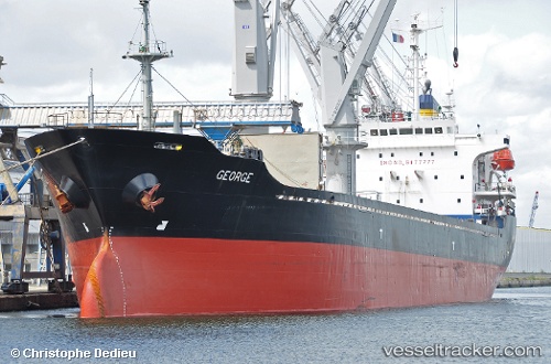
Vessel SEAWAY K IMO: 9177777, MMSI: 314614000 General Cargo Ship
UTC, 54.22105, 4.74695, course: 27, speed: 9.8
UTC, 54.22105, 4.74695, course: 27, speed: 9.8
2026-02-18 10:46:14 UTC, 54.22105, 4.74695, course: 27, speed: 9.8
Live AIS position:
UTC. 51 nm NE of Neeltje Jans),
updated 2026-02-18 10:46:14 UTC.
Find the position of the vessel SEAWAY K on the map. The latter are known coordinates and path.
marine traffic ship tracker show on live map
The current position of vessel SEAWAY K is 54.22105 lat / 4.74695 lng. Updated: 2026-02-18 10:46:14 UTCCurrently sailing under the flag of Barbados
SEAWAY K built in 1999 year
Deadweight:
13347 tDetails:
Last coordinates of the vessel:
UTC, 54.09500, 4.67500, course: -1, speed: 10UTC, 54.22105, 4.74695, course: 27, speed: 9.8
UTC, 54.22105, 4.74695, course: 27, speed: 9.8
2026-02-18 10:46:14 UTC, 54.22105, 4.74695, course: 27, speed: 9.8