 vesseltracker.com
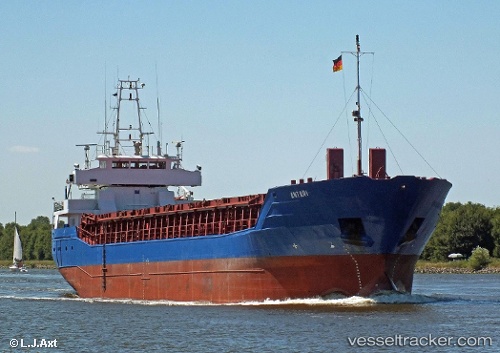
 ANTARI
Current Status
Where is the vessel?
ANTARI is currently in Near Ashdod, based on AIS data received about 2h ago.
Latest AIS update:
Current position: 31.84308° N, 34.64244° E (Near Ashdod)
Average speed (last 7 days): Loading…
Average speed (last 30 days): Loading…
Vessel profile: ANTARI is a General Cargo Ship with dimensions 13m x 87m.
This page combines live AIS, route history, probable destination signals, nearby traffic, and port activity for practical vessel monitoring.
The current position of vessel ANTARI is 31.84308 lat / 34.64244 lng. Updated: 2026-03-25 07:57:18 UTCNearest reference points:
- Near Haifa
- Near AL ARISH
- 22 nm W of Haifa Granaries
Currently sailing under the flag of Barbados ![]()
ANTARI built in 1998 year
Deadweight:
3700 tDetails:
Live Vessel ANTARI Analytics (details, animations, etc.)
Recent AIS points (UTC):
2026-03-25 01:00:41 UTC · 31.74574, 34.30609 · SOG 1.2 kn · COG 358°2026-03-25 03:18:41 UTC · 31.74630, 34.30566 · SOG 0.3 kn · COG 358°
2026-03-25 06:00:31 UTC · 31.84302, 34.64245 · SOG 0 kn · COG 358°
2026-03-25 07:57:18 UTC · 31.84308, 34.64244 · SOG 0 kn · COG 358°