 vesseltracker.com
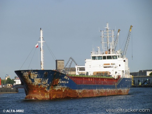
Vessel MEMNUNE K IMO: 9576703, MMSI: 314663000 General Cargo Ship
UTC, 35.74883, -0.64281, course: 276, speed: 0.2
UTC, 35.74843, -0.64293, course: 286, speed: 0.3
2026-01-27 19:18:00 UTC, 35.74867, -0.64277, course: 279, speed: 0.4
Live AIS position:
UTC. Near Oran),
updated 2026-01-27 19:18:00 UTC.
Find the position of the vessel MEMNUNE K on the map. The latter are known coordinates and path.
marine traffic ship tracker show on live map
The current position of vessel MEMNUNE K is 35.74867 lat / -0.64277 lng. Updated: 2026-01-27 19:18:00 UTCCurrently sailing under the flag of Barbados
MEMNUNE K built in 2010 year
Deadweight:
4487 tDetails:
Last coordinates of the vessel:
UTC, 35.74908, -0.64287, course: 268, speed: 0.3UTC, 35.74883, -0.64281, course: 276, speed: 0.2
UTC, 35.74843, -0.64293, course: 286, speed: 0.3
2026-01-27 19:18:00 UTC, 35.74867, -0.64277, course: 279, speed: 0.4