 vesseltracker.com
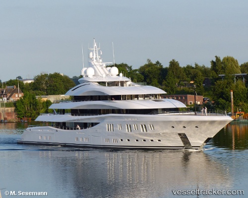
Vessel Lady Lara IMO: 1012311, MMSI: 319082300 Yacht
UTC, 18.03333, -63.10500, course: -1, speed: 0
UTC, 18.03320, -63.10475, course: 134, speed: 0.4
2026-03-04 14:30:35 UTC, 18.03333, -63.10500, course: -1, speed: 0
Live Vessel Lady Lara Analytics (details, animations, etc.)
Live AIS position: UTC. Near ST MAARTEN), updated 2026-03-04 14:30:35 UTC.Find the position of the vessel Lady Lara on the map. The latter are known coordinates and path.
marine traffic ship tracker show on live map
The current position of vessel Lady Lara is 18.03333 lat / -63.10500 lng. Updated: 2026-03-04 14:30:35 UTCCurrently sailing under the flag of Cayman Is
Details:
Last coordinates of the vessel:
UTC, 18.03348, -63.10443, course: 134, speed: 0.1UTC, 18.03333, -63.10500, course: -1, speed: 0
UTC, 18.03320, -63.10475, course: 134, speed: 0.4
2026-03-04 14:30:35 UTC, 18.03333, -63.10500, course: -1, speed: 0