 vesseltracker.com
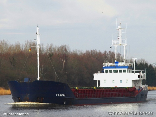
Find the position of the vessel Sandal on the map. The latter are known coordinates and path.
marine traffic ship tracker show on live map
The current position of vessel Sandal is 40.7366 lat / 29.4405 lng. Updated: 2025-08-05 23:56:40 UTCCurrently sailing under the flag of St Kitts Nevis
Sandal built in 1993 year
Deadweight:
2300 tDetails:
Last coordinates of the vessel:
UTC, 40.7366, 29.4405, course: 74, speed: 5.5UTC, 40.7366, 29.4405, course: 74, speed: 5.5
UTC, 40.7366, 29.4405, course: 74, speed: 5.5
UTC, 40.7366, 29.4405, course: 74, speed: 5.5
UTC, 40.7366, 29.4405, course: 74, speed: 5.5
2025-08-05 23:56:40 UTC, 40.7366, 29.4405, course: 74, speed: 5.5