 vesseltracker.com
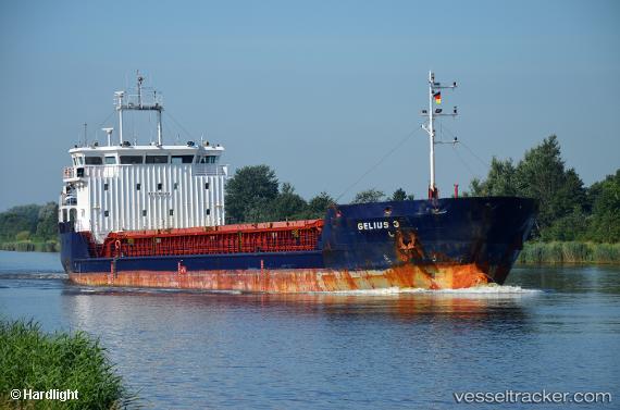
Find the position of the vessel Gelmond 3 on the map. The latter are known coordinates and path.
marine traffic ship tracker show on live map
The current position of vessel Gelmond 3 is 45.30518 lat / 36.45417 lng. Updated: 2025-11-15 15:33:33 UTCCurrently sailing under the flag of Saint Kitts and Nevis
Details:
Last coordinates of the vessel:
UTC, 45.29533, 36.47172, course: 10, speed: 52.7UTC, 45.30518, 36.45417, course: 20, speed: 7.8
UTC, 45.30518, 36.45417, course: 20, speed: 7.8
2025-11-15 15:33:33 UTC, 45.30518, 36.45417, course: 20, speed: 7.8