 vesseltracker.com
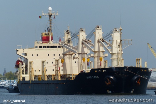
 DSM LAILA
Current Status
Where is the vessel?
DSM LAILA is currently in 11 nm N of Rozi, based on AIS data received about 1h ago.
Latest AIS update:
Current position: 22.75017° N, 70.00341° E (11 nm N of Rozi)
Average speed (last 7 days): Loading…
Average speed (last 30 days): Loading…
Vessel profile: DSM LAILA is a Bulk Carrier with dimensions m x m.
This page combines live AIS, route history, probable destination signals, nearby traffic, and port activity for practical vessel monitoring.
The current position of vessel DSM LAILA is 22.75017 lat / 70.00341 lng. Updated: 2026-04-05 18:05:53 UTCNearest reference points:
- 12 nm N of Rozi
- 15 nm N of Rozi
- Near Rozi
Currently sailing under the flag of Saint Kitts and Nevis ![]()
Details:
Live Vessel DSM LAILA Analytics (details, animations, etc.)
Recent AIS points (UTC):
2026-04-05 12:58:27 UTC · 22.74993, 70.00321 · SOG 0 kn · COG 298°2026-04-05 14:43:28 UTC · 22.74911, 70.00206 · SOG 0 kn · COG 5°
2026-04-05 18:04:31 UTC · 22.74998, 70.00336 · SOG 0.5 kn · COG 280°
2026-04-05 18:05:53 UTC · 22.75017, 70.00341 · SOG 0.3 kn · COG 265°