 vesseltracker.com
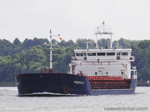
Vessel DREMORA 3 IMO: 9471812, MMSI: 341997000 General Cargo Ship
UTC, 40.98012, 28.94076, course: 213, speed: 0
UTC, 40.97984, 28.94102, course: 240, speed: 0.1
2026-01-23 19:14:46 UTC, 40.90260, 28.79238, course: 256, speed: 8.1
Live AIS position:
UTC. Near Kumport),
updated 2026-01-23 19:14:46 UTC.
Find the position of the vessel DREMORA 3 on the map. The latter are known coordinates and path.
marine traffic ship tracker show on live map
The current position of vessel DREMORA 3 is 40.90260 lat / 28.79238 lng. Updated: 2026-01-23 19:14:46 UTCCurrently sailing under the flag of St.Kitts and Nevis
DREMORA 3 built in 2010 year
Deadweight:
4402 tDetails:
Last coordinates of the vessel:
UTC, 40.98039, 28.94082, course: 217, speed: 0UTC, 40.98012, 28.94076, course: 213, speed: 0
UTC, 40.97984, 28.94102, course: 240, speed: 0.1
2026-01-23 19:14:46 UTC, 40.90260, 28.79238, course: 256, speed: 8.1