 vesseltracker.com
Find the position of the vessel PINTUS on the map. The latter are known coordinates and path.
marine traffic ship tracker show on live map
The current position of vessel PINTUS is 22.5941 lat / 69.3063 lng. Updated: 2025-06-21 09:46:43 UTCCurrently sailing under the flag of Panama
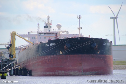
PINTUS built in 2004 year
Port of registry:
Nassau (capital and largest city of the Bahamas)Deadweight:
115392 tService entry:
2004-01-01T00:00:00ZManufacturer:
Samsung Heavy Industries (South Korean shipbuilding company)Details:
Last coordinates of the vessel:
UTC, 22.5941, 69.3063, course: 264, speed: 11.8UTC, 22.5941, 69.3063, course: 264, speed: 11.8
UTC, 22.5941, 69.3063, course: 264, speed: 11.8
2025-06-21 09:46:43 UTC, 22.5941, 69.3063, course: 264, speed: 11.8