 vesseltracker.com
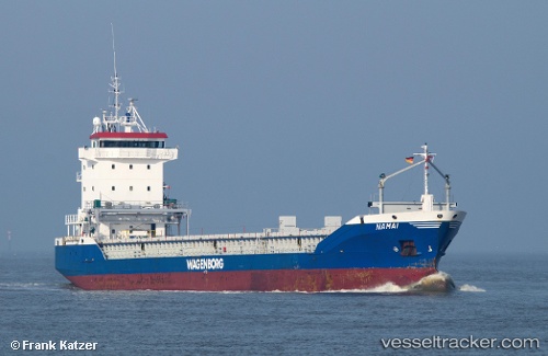
Vessel SKY TIME IMO: 9155913, MMSI: 352001748 General Cargo Ship
UTC, 51.30167, 3.83833, course: -1, speed: 0
UTC, 51.30236, 3.83909, course: 138, speed: 0
2026-01-15 10:43:02 UTC, 51.30167, 3.83833, course: -1, speed: 0
Live AIS position:
UTC. Near SLUISKIL),
updated 2026-01-15 10:43:02 UTC.
Find the position of the vessel SKY TIME on the map. The latter are known coordinates and path.
marine traffic ship tracker show on live map
The current position of vessel SKY TIME is 51.30167 lat / 3.83833 lng. Updated: 2026-01-15 10:43:02 UTCCurrently sailing under the flag of Panama
SKY TIME built in 1998 year
Deadweight:
6324 tDetails:
Last coordinates of the vessel:
UTC, 51.30242, 3.83892, course: 137, speed: 0UTC, 51.30167, 3.83833, course: -1, speed: 0
UTC, 51.30236, 3.83909, course: 138, speed: 0
2026-01-15 10:43:02 UTC, 51.30167, 3.83833, course: -1, speed: 0