 vesseltracker.com
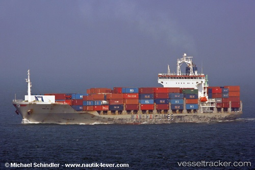
 ABRAO COCHIN
Current Status
Where is the vessel?
ABRAO COCHIN is currently in 31 nm SW of MARIVELES, based on AIS data received less than 1h ago.
Latest AIS update:
Current position: 14.22296° N, 120.00964° E (31 nm SW of MARIVELES)
Average speed (last 7 days): Loading…
Average speed (last 30 days): Loading…
Vessel profile: ABRAO COCHIN is a Container Ship with dimensions m x m.
This page combines live AIS, route history, probable destination signals, nearby traffic, and port activity for practical vessel monitoring.
The current position of vessel ABRAO COCHIN is 14.22296 lat / 120.00964 lng. Updated: 2026-04-16 14:10:42 UTCNearest reference points:
- 19 nm SW of MARIVELES
- Near Nasugbu, Luzon
- Near Noveleta
Currently sailing under the flag of Panama ![]()
Details:
Live Vessel ABRAO COCHIN Analytics (details, animations, etc.)
Recent AIS points (UTC):
2026-04-16 05:23:22 UTC · 14.22968, 119.96556 · SOG 0.7 kn · COG 122°2026-04-16 07:47:52 UTC · 14.24231, 119.97895 · SOG 0.4 kn · COG 245°
2026-04-16 09:38:40 UTC · 14.24559, 119.98768 · SOG 0.3 kn · COG 275°
2026-04-16 14:10:42 UTC · 14.22296, 120.00964 · SOG 0.5 kn · COG 325°