 vesseltracker.com
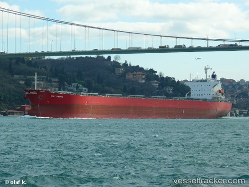
Lady Marite
Current StatusWhere is the vessel?
Lady Marite is currently in 28 nm NE of INEBOLU, based on AIS data received about 3d ago.
Latest AIS update:
Current position: 42.37020° N, 34.09552° E (28 nm NE of INEBOLU)
Average speed (last 7 days): Loading…
Average speed (last 30 days): Loading…
Vessel profile: Lady Marite is a Bulk Carrier with dimensions 32m x 218m.
This page combines live AIS, route history, probable destination signals, nearby traffic, and port activity for practical vessel monitoring.
The current position of vessel Lady Marite is 42.37020 lat / 34.09552 lng. Updated: 2026-04-12 18:37:09 UTCNearest reference points:
- 18 nm NW of INEBOLU
- 27 nm NW of INEBOLU
- 51 nm N of Sinop
Details:
Live Vessel Lady Marite Analytics (details, animations, etc.)
Recent AIS points (UTC):
2026-04-12 17:51:58 UTC · 42.33267, 33.88718 · SOG 12.6 kn · COG 76°2026-04-12 18:37:09 UTC · 42.37020, 34.09552 · SOG 12.8 kn · COG 76°
2026-04-12 18:37:09 UTC · 42.37020, 34.09552 · SOG 12.8 kn · COG 76°
2026-04-12 18:37:09 UTC · 42.37020, 34.09552 · SOG 12.8 kn · COG 76°