 vesseltracker.com
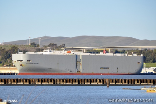
Vessel Mediterraneanhighway IMO: 9250220, MMSI: 354203000 Vehicles Carrier
UTC, 25.03133, 55.05468, course: 259, speed: 0
UTC, 25.03137, 55.05462, course: 259, speed: 0
2026-01-28 15:35:37 UTC, 25.03141, 55.05462, course: 259, speed: 0
Live AIS position:
UTC. Near Jebel Ali),
updated 2026-01-28 15:35:37 UTC.
Find the position of the vessel Mediterraneanhighway on the map. The latter are known coordinates and path.
marine traffic ship tracker show on live map
The current position of vessel Mediterraneanhighway is 25.03141 lat / 55.05462 lng. Updated: 2026-01-28 15:35:37 UTCCurrently sailing under the flag of Panama
Mediterraneanhighway built in 2002 year
Deadweight:
17228 tDetails:
Last coordinates of the vessel:
UTC, 25.03135, 55.05467, course: 259, speed: 0UTC, 25.03133, 55.05468, course: 259, speed: 0
UTC, 25.03137, 55.05462, course: 259, speed: 0
2026-01-28 15:35:37 UTC, 25.03141, 55.05462, course: 259, speed: 0