 vesseltracker.com
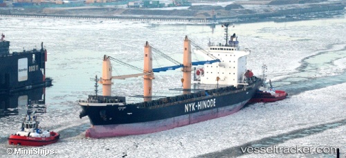
 W YANG PU
Current Status
Where is the vessel?
W YANG PU is currently in 35 nm E of Malaga, based on AIS data received about 1d ago.
Latest AIS update:
Current position: 3.50495° N, 3.90278° W (35 nm E of Malaga)
Average speed (last 7 days): Loading…
Average speed (last 30 days): Loading…
Vessel profile: W YANG PU is a General Cargo with dimensions 25m x 147m.
This page combines live AIS, route history, probable destination signals, nearby traffic, and port activity for practical vessel monitoring.
The current position of vessel W YANG PU is 3.50495 lat / -3.90278 lng. Updated: 2026-04-10 07:33:31 UTCNearest reference points:
- 13 nm W of Jubilee FPSO
- Near Espoir
- Near Vridi
Currently sailing under the flag of Panama ![]()
W YANG PU built in 0 year
Deadweight:
0 tDetails:
Live Vessel W YANG PU Analytics (details, animations, etc.)
Recent AIS points (UTC):
2026-04-10 02:36:30 UTC · 3.50737, -2.90785 · SOG 12.1 kn · COG 269°2026-04-10 04:19:23 UTC · 3.50757, -3.25540 · SOG 12.1 kn · COG 268°
2026-04-10 05:19:14 UTC · 3.50840, -3.45653 · SOG 12 kn · COG 268°
2026-04-10 07:33:31 UTC · 3.50495, -3.90278 · SOG 11.8 kn · COG 268°