 vesseltracker.com
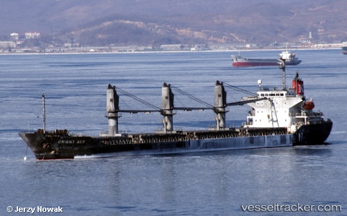
Vessel Fanaria IMO: 9228241, MMSI: 356187000 Bulk Carrier
UTC, 36.65827, 34.60535, course: 203, speed: 11
UTC, 36.23598, 34.31279, course: 214, speed: 11.1
2026-02-15 17:58:01 UTC, 36.05835, 33.96127, course: 246, speed: 12.2
Live AIS position:
UTC. 16 nm S of TASUCU),
updated 2026-02-15 17:58:01 UTC.
Find the position of the vessel Fanaria on the map. The latter are known coordinates and path.
marine traffic ship tracker show on live map
The current position of vessel Fanaria is 36.05835 lat / 33.96127 lng. Updated: 2026-02-15 17:58:01 UTCCurrently sailing under the flag of Panama
Details:
Last coordinates of the vessel:
UTC, 36.80200, 34.65012, course: 0, speed: 0UTC, 36.65827, 34.60535, course: 203, speed: 11
UTC, 36.23598, 34.31279, course: 214, speed: 11.1
2026-02-15 17:58:01 UTC, 36.05835, 33.96127, course: 246, speed: 12.2