 vesseltracker.com
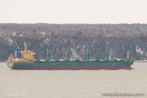
Vessel Josefa IMO: 9571650, MMSI: 356312000 Bulk Carrier
UTC, 34.72833, 10.76667, course: -1, speed: 0
UTC, 34.72833, 10.76667, course: -1, speed: 0
2026-03-06 13:20:32 UTC, 34.72833, 10.76667, course: -1, speed: 0
Live Vessel Josefa Analytics (details, animations, etc.)
Live AIS position: UTC. Near Sfax), updated 2026-03-06 13:20:32 UTC.Find the position of the vessel Josefa on the map. The latter are known coordinates and path.
marine traffic ship tracker show on live map
The current position of vessel Josefa is 34.72833 lat / 10.76667 lng. Updated: 2026-03-06 13:20:32 UTCDetails:
Last coordinates of the vessel:
UTC, 34.72833, 10.76667, course: -1, speed: 0UTC, 34.72833, 10.76667, course: -1, speed: 0
UTC, 34.72833, 10.76667, course: -1, speed: 0
2026-03-06 13:20:32 UTC, 34.72833, 10.76667, course: -1, speed: 0