 vesseltracker.com
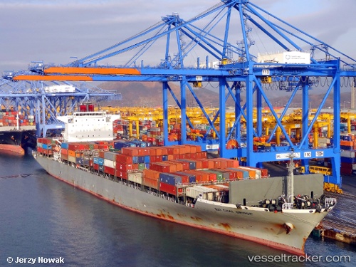
Bai Chay Bridge
Current StatusWhere is the vessel?
Bai Chay Bridge is currently in 136 nm N of Kumejima, based on AIS data received about 1h ago.
Latest AIS update:
Current position: 28.55990° N, 126.08846° E (136 nm N of Kumejima)
Average speed (last 7 days): Loading…
Average speed (last 30 days): Loading…
Vessel profile: Bai Chay Bridge is a Container Ship with dimensions 36m x 266m.
This page combines live AIS, route history, probable destination signals, nearby traffic, and port activity for practical vessel monitoring.
The current position of vessel Bai Chay Bridge is 28.55990 lat / 126.08846 lng. Updated: 2026-04-01 21:57:23 UTCNearest reference points:
- 165 nm SE of Lü-hua Shan
- 129 nm SE of ZHOUSHAN
- 176 nm S of Hwasun
Details:
Live Vessel Bai Chay Bridge Analytics (details, animations, etc.)
Recent AIS points (UTC):
2026-04-01 15:50:44 UTC · 27.79167, 124.60833 · SOG 14 kn · COG -1°2026-04-01 18:08:44 UTC · 28.08167, 125.16167 · SOG 14 kn · COG -1°
2026-04-01 20:02:44 UTC · 28.32333, 125.62167 · SOG 14 kn · COG -1°
2026-04-01 21:57:23 UTC · 28.55990, 126.08846 · SOG 14.9 kn · COG 61°