 vesseltracker.com
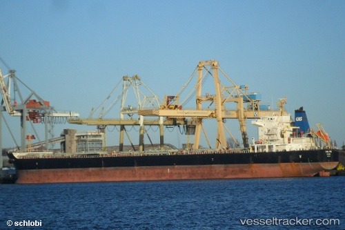
Hong Hing
Current StatusWhere is the vessel?
Hong Hing is currently in 41 nm N of Grote Berg, based on AIS data received about 12h ago.
Latest AIS update:
Current position: 12.85033° N, 69.16410° W (41 nm N of Grote Berg)
Average speed (last 7 days): Loading…
Average speed (last 30 days): Loading…
Vessel profile: Hong Hing is a Bulk Carrier with dimensions 32m x 225m.
This page combines live AIS, route history, probable destination signals, nearby traffic, and port activity for practical vessel monitoring.
The current position of vessel Hong Hing is 12.85033 lat / -69.16410 lng. Updated: 2026-04-10 07:37:14 UTCNearest reference points:
- Near Bullenbaai
- 24 nm NW of Palm Beach
- Near Las Piedras
Details:
Live Vessel Hong Hing Analytics (details, animations, etc.)
Recent AIS points (UTC):
2026-04-10 02:21:12 UTC · 12.85322, -70.04887 · SOG 10.1 kn · COG 88°2026-04-10 03:53:42 UTC · 12.85243, -69.78496 · SOG 9.9 kn · COG 98°
2026-04-10 05:34:22 UTC · 12.84566, -69.50359 · SOG 9.7 kn · COG 90°
2026-04-10 07:37:14 UTC · 12.85033, -69.16410 · SOG 9.9 kn · COG 90°