 vesseltracker.com
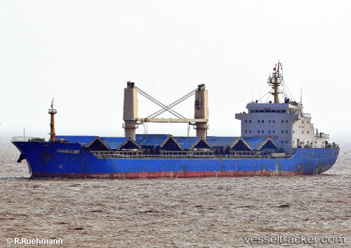
Chang Long
Current StatusWhere is the vessel?
Chang Long is currently in 94 nm NE of Basco, based on AIS data received less than 1h ago.
Latest AIS update:
Current position: 21.25667° N, 123.40333° E (94 nm NE of Basco)
Average speed (last 7 days): Loading…
Average speed (last 30 days): Loading…
Vessel profile: Chang Long is a General Cargo Ship with dimensions 20m x 139m.
This page combines live AIS, route history, probable destination signals, nearby traffic, and port activity for practical vessel monitoring.
The current position of vessel Chang Long is 21.25667 lat / 123.40333 lng. Updated: 2026-04-07 11:17:01 UTCNearest reference points:
- 55 nm S of Hua-Lien Kang
Details:
Live Vessel Chang Long Analytics (details, animations, etc.)
Recent AIS points (UTC):
2026-04-07 06:08:03 UTC · 21.71500, 124.00833 · SOG 9 kn · COG -1°2026-04-07 07:44:01 UTC · 21.56833, 123.81167 · SOG 8 kn · COG -1°
2026-04-07 08:56:01 UTC · 21.46500, 123.66833 · SOG 8 kn · COG -1°
2026-04-07 11:17:01 UTC · 21.25667, 123.40333 · SOG 8 kn · COG -1°