 vesseltracker.com
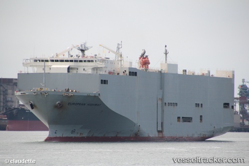
 European Highway
Current Status
Where is the vessel?
European Highway is currently in 114 nm NW of LIZARD ISLAND, based on AIS data received less than 1h ago.
Latest AIS update:
Current position: 13.45301° S, 143.93536° E (114 nm NW of LIZARD ISLAND)
Average speed (last 7 days): Loading…
Average speed (last 30 days): Loading…
Vessel profile: European Highway is a Vehicles Carrier with dimensions 180m x 32m.
This page combines live AIS, route history, probable destination signals, nearby traffic, and port activity for practical vessel monitoring.
The current position of vessel European Highway is -13.45301 lat / 143.93536 lng. Updated: 2026-04-07 21:36:30 UTCCurrently sailing under the flag of Panama ![]()
European Highway built in 1999 year
Deadweight:
15075 tDetails:
Live Vessel European Highway Analytics (details, animations, etc.)
Recent AIS points (UTC):
2026-04-07 16:11:06 UTC · -12.16345, 143.23929 · SOG 16.4 kn · COG 175°2026-04-07 18:09:07 UTC · -12.63185, 143.48430 · SOG 16.3 kn · COG 154°
2026-04-07 20:20:25 UTC · -13.14238, 143.78688 · SOG 16.4 kn · COG 159°
2026-04-07 21:36:30 UTC · -13.45301, 143.93536 · SOG 16 kn · COG 152°