 vesseltracker.com
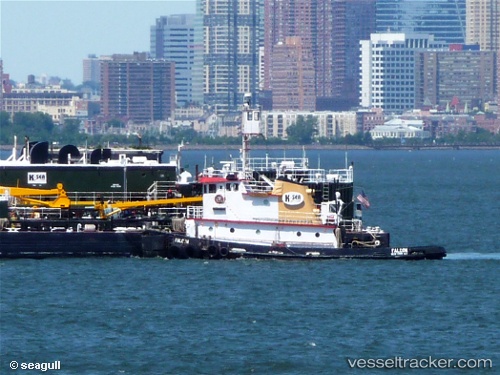
 Carolina Coast
Current Status
Where is the vessel?
Carolina Coast is currently in Near Santa Isabel, based on AIS data received about 2h ago.
Latest AIS update:
Current position: 17.85500° N, 66.35167° W (Near Santa Isabel)
Average speed (last 7 days): Loading…
Average speed (last 30 days): Loading…
Vessel profile: Carolina Coast is a Tug with dimensions 37m x 10m.
This page combines live AIS, route history, probable destination signals, nearby traffic, and port activity for practical vessel monitoring.
The current position of vessel Carolina Coast is 17.85500 lat / -66.35167 lng. Updated: 2026-03-26 07:18:42 UTCNearest reference points:
- Near Guanica
- Near San Juan
- Near Isabel Segunda
Currently sailing under the flag of USA ![]()
Carolina Coast built in 1970 year
Details:
Live Vessel Carolina Coast Analytics (details, animations, etc.)
Recent AIS points (UTC):
2026-03-26 04:06:44 UTC · 17.82167, -66.48333 · SOG 2 kn · COG -1°2026-03-26 04:06:44 UTC · 17.82167, -66.48333 · SOG 2 kn · COG -1°
2026-03-26 06:00:46 UTC · 17.81833, -66.39333 · SOG 2 kn · COG -1°
2026-03-26 07:18:42 UTC · 17.85500, -66.35167 · SOG 2 kn · COG -1°