 vesseltracker.com
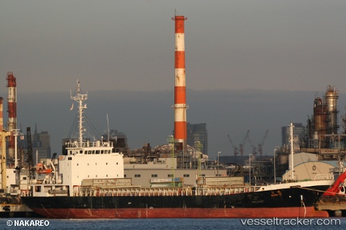
 DONG NI
Current Status
Where is the vessel?
DONG NI is currently in 24 nm W of TAEAN-GUN, based on AIS data received about 1h ago.
Latest AIS update:
Current position: 37.04597° N, 125.77441° E (24 nm W of TAEAN-GUN)
Average speed (last 7 days): Loading…
Average speed (last 30 days): Loading…
Vessel profile: DONG NI is a General Cargo Ship with dimensions 14m x 88m.
This page combines live AIS, route history, probable destination signals, nearby traffic, and port activity for practical vessel monitoring.
The current position of vessel DONG NI is 37.04597 lat / 125.77441 lng. Updated: 2026-03-31 08:02:40 UTCNearest reference points:
- Near Yeonpyeongdo
- 49 nm SW of Yeonpyeongdo
- Near DAESAN
Currently sailing under the flag of Panama ![]()
DONG NI built in 2007 year
Deadweight:
3805 tDetails:
Live Vessel DONG NI Analytics (details, animations, etc.)
Recent AIS points (UTC):
2026-03-31 02:03:55 UTC · 36.99255, 126.75889 · SOG 8.9 kn · COG 289°2026-03-31 04:08:28 UTC · 37.14410, 126.44584 · SOG 8.8 kn · COG 269°
2026-03-31 05:46:30 UTC · 37.03793, 126.20904 · SOG 8.6 kn · COG 232°
2026-03-31 08:02:40 UTC · 37.04597, 125.77441 · SOG 10.6 kn · COG 302°