 vesseltracker.com
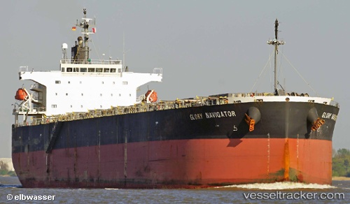
Glory Navigator
Current StatusWhere is the vessel?
Glory Navigator is currently in Near Guarujá, based on AIS data received less than 1h ago.
Latest AIS update:
Current position: 24.10757° S, 46.14847° W (Near Guarujá)
Average speed (last 7 days): Loading…
Average speed (last 30 days): Loading…
Vessel profile: Glory Navigator is a Bulk Carrier with dimensions 32m x 225m.
This page combines live AIS, route history, probable destination signals, nearby traffic, and port activity for practical vessel monitoring.
The current position of vessel Glory Navigator is -24.10757 lat / -46.14847 lng. Updated: 2026-04-05 12:09:29 UTCNearest reference points:
- Near Guarujá
- Near Santos
- 30 nm SE of Guarujá
Details:
Live Vessel Glory Navigator Analytics (details, animations, etc.)
Recent AIS points (UTC):
2026-04-05 06:00:29 UTC · -24.11005, -46.15187 · SOG 0 kn · COG 29°2026-04-05 08:12:29 UTC · -24.10895, -46.14883 · SOG 0 kn · COG 284°
2026-04-05 10:12:29 UTC · -24.10838, -46.14858 · SOG 0 kn · COG 260°
2026-04-05 12:09:29 UTC · -24.10757, -46.14847 · SOG 0 kn · COG 243°