 vesseltracker.com
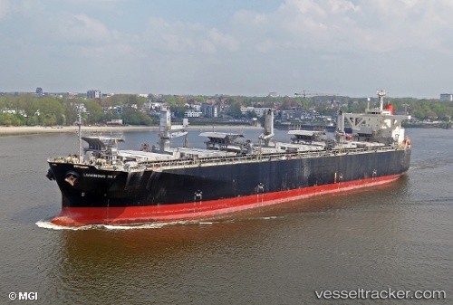
Luminous Sky
Current StatusWhere is the vessel?
Luminous Sky is currently in Near Chan May Port, based on AIS data received about 2d ago.
Latest AIS update:
Current position: 16.33385° N, 108.01538° E (Near Chan May Port)
Average speed (last 7 days): Loading…
Average speed (last 30 days): Loading…
Vessel profile: Luminous Sky is a Wood Chips Carrier with dimensions 37m x 203m.
This page combines live AIS, route history, probable destination signals, nearby traffic, and port activity for practical vessel monitoring.
The current position of vessel Luminous Sky is 16.33385 lat / 108.01538 lng. Updated: 2026-04-07 23:40:04 UTCNearest reference points:
- Near Hai Son
- 23 nm E of Hai Son
- Near Thuan An
Details:
Live Vessel Luminous Sky Analytics (details, animations, etc.)
Recent AIS points (UTC):
2026-04-07 22:01:04 UTC · 16.39497, 108.06717 · SOG 5.7 kn · COG 250°2026-04-07 23:38:35 UTC · 16.33355, 108.01498 · SOG 1.2 kn · COG 131°
2026-04-07 23:40:04 UTC · 16.33385, 108.01538 · SOG 1.1 kn · COG 147°
2026-04-07 23:40:04 UTC · 16.33385, 108.01538 · SOG 1.1 kn · COG 147°