 vesseltracker.com
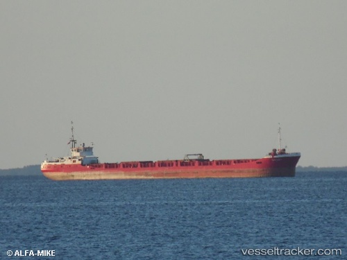
Find the position of the vessel BLUE STAR on the map. The latter are known coordinates and path.
marine traffic ship tracker show on live map
The current position of vessel BLUE STAR is 45.4333 lat / 29.265 lng. Updated: 2024-04-29 07:28:05 UTCCurrently sailing under the flag of Panama
BLUE STAR built in 1986 year
Deadweight:
2362 tGross tonnage:
1543Service entry:
1985-01-01T00:00:00ZDetails:
Last coordinates of the vessel:
UTC, 45.4333, 29.265, course: -1, speed: 0UTC, 45.4333, 29.265, course: -1, speed: 0
UTC, 45.4333, 29.265, course: -1, speed: 0
2024-04-29 07:28:05 UTC, 45.4333, 29.265, course: -1, speed: 0
The ship also appears on the maps: