 vesseltracker.com
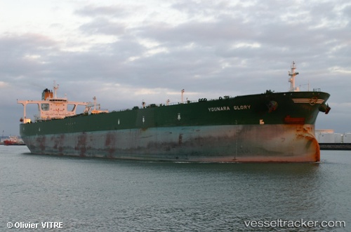
 M SOPHIA
Current Status
Where is the vessel?
M SOPHIA is currently in 153 nm NW of El Obeid, based on AIS data received about 200d ago.
Latest AIS update:
Current position: 15.02947° N, 28.40269° E (153 nm NW of El Obeid)
Average speed (last 7 days): Loading…
Average speed (last 30 days): Loading…
Vessel profile: M SOPHIA is a Crude Oil Tanker with dimensions 60m x 333m.
This page combines live AIS, route history, probable destination signals, nearby traffic, and port activity for practical vessel monitoring.
The current position of vessel M SOPHIA is 15.02947 lat / 28.40269 lng. Updated: 2025-09-11 16:07:17 UTCNearest reference points:
- 153 nm NW of El Obeid
- 203 nm NW of El Obeid
Currently sailing under the flag of Panama ![]()
M SOPHIA built in 2004 year
Deadweight:
320051 tDetails:
Live Vessel M SOPHIA Analytics (details, animations, etc.)
Recent AIS points (UTC):
2025-09-11 16:07:17 UTC · 15.02947, 28.40269 · SOG 13 kn · COG 224°