 vesseltracker.com
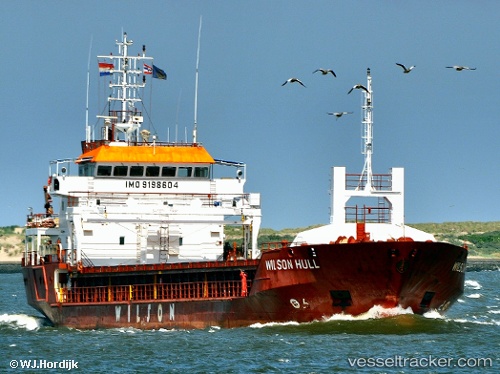
Find the position of the vessel SEHER S on the map. The latter are known coordinates and path.
marine traffic ship tracker show on live map
The current position of vessel SEHER S is 51.41853 lat / 1.42835 lng. Updated: 2025-11-11 11:25:57 UTCCurrently sailing under the flag of St Vincent and Grenadines
SEHER S built in 2001 year
Deadweight:
4247 tDetails:
Last coordinates of the vessel:
UTC, 51.41779, 1.43197, course: 255, speed: 0UTC, 51.41836, 1.43204, course: 240, speed: 0.1
UTC, 51.41860, 1.42840, course: 105, speed: 0.1
2025-11-11 11:25:57 UTC, 51.41853, 1.42835, course: 104, speed: 0.1