 vesseltracker.com
 LOURDES
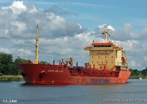
Current Status
Where is the vessel?
LOURDES is currently in Near Haldia, based on AIS data received less than 1h ago.
Latest AIS update:
Current position: 22.03902° N, 88.20886° E (Near Haldia)
Average speed (last 7 days): Loading…
Average speed (last 30 days): Loading…
Vessel profile: LOURDES is a Chemical/Oil Products Tanker with dimensions 20m x 127m.
This page combines live AIS, route history, probable destination signals, nearby traffic, and port activity for practical vessel monitoring.
The current position of vessel LOURDES is 22.03902 lat / 88.20886 lng. Updated: 2026-04-22 07:57:00 UTCNearest reference points:
- Near Haldia
- Near Calcutta
- 16 nm SE of Contai
Currently sailing under the flag of India ![]()
LOURDES built in 2003 year
Deadweight:
12791 tDetails:
Live Vessel LOURDES Analytics (details, animations, etc.)
Recent AIS points (UTC):
2026-04-22 03:28:37 UTC · 21.34079, 88.18148 · SOG 9.6 kn · COG 334°2026-04-22 04:50:37 UTC · 21.56106, 88.09716 · SOG 9.2 kn · COG 315°
2026-04-22 05:45:38 UTC · 21.68291, 88.01202 · SOG 12.6 kn · COG 349°
2026-04-22 07:57:00 UTC · 22.03902, 88.20886 · SOG 12.6 kn · COG 15°