 vesseltracker.com
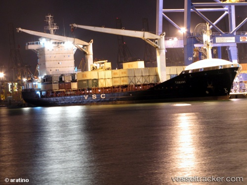
 Taban 1
Current Status
Where is the vessel?
Taban 1 is currently in Near Assaluyeh, based on AIS data received about 15h ago.
Latest AIS update:
Current position: 27.35797° N, 52.50764° E (Near Assaluyeh)
Average speed (last 7 days): Loading…
Average speed (last 30 days): Loading…
Vessel profile: Taban 1 is a Container Ship with dimensions m x m.
This page combines live AIS, route history, probable destination signals, nearby traffic, and port activity for practical vessel monitoring.
The current position of vessel Taban 1 is 27.35797 lat / 52.50764 lng. Updated: 2026-04-10 07:07:17 UTCNearest reference points:
- Near ASALUYEH
- Near Sarooj Anchorage
- Near Dayyer
Currently sailing under the flag of Iran ![]()
Taban 1 built in 2008 year
Deadweight:
13734 tDetails:
Live Vessel Taban 1 Analytics (details, animations, etc.)
Recent AIS points (UTC):
2026-04-10 02:28:34 UTC · 27.52661, 52.55884 · SOG 0 kn · COG 145°2026-04-10 03:55:43 UTC · 27.52662, 52.55881 · SOG 0 kn · COG 143°
2026-04-10 06:21:57 UTC · 27.42047, 52.51112 · SOG 5 kn · COG 180°
2026-04-10 07:07:17 UTC · 27.35797, 52.50764 · SOG 4.7 kn · COG 181°