 vesseltracker.com
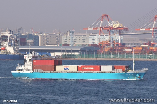
 Otagawa
Current Status
Where is the vessel?
Otagawa is currently in Near Naka-Ku, Kanagawa, based on AIS data received about 1h ago.
Latest AIS update:
Current position: 35.38247° N, 139.66745° E (Near Naka-Ku, Kanagawa)
Average speed (last 7 days): Loading…
Average speed (last 30 days): Loading…
Vessel profile: Otagawa is a General Cargo Ship with dimensions 70m x 13m.
This page combines live AIS, route history, probable destination signals, nearby traffic, and port activity for practical vessel monitoring.
The current position of vessel Otagawa is 35.38247 lat / 139.66745 lng. Updated: 2026-04-21 18:08:14 UTCNearest reference points:
- Near Naka-Ku, Kanagawa
- Near Yokohama
- Near Yokosuka
Currently sailing under the flag of Japan ![]()
Details:
Live Vessel Otagawa Analytics (details, animations, etc.)
Recent AIS points (UTC):
2026-04-21 14:24:44 UTC · 35.38216, 139.66595 · SOG 0 kn · COG 75°2026-04-21 16:20:34 UTC · 35.38238, 139.66605 · SOG 0 kn · COG 96°
2026-04-21 17:02:43 UTC · 35.38277, 139.66724 · SOG 0 kn · COG 218°
2026-04-21 18:08:14 UTC · 35.38247, 139.66745 · SOG 0.1 kn · COG 249°