 vesseltracker.com
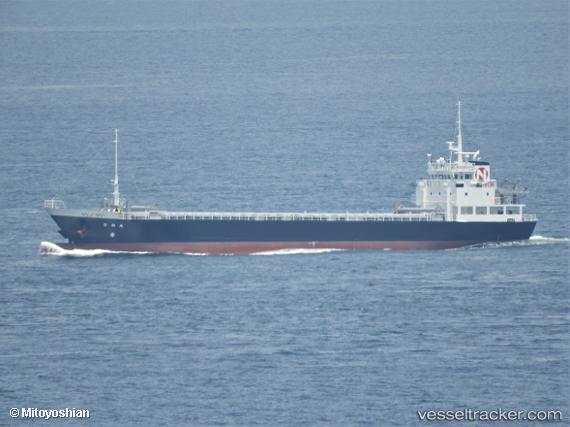
 Nichiwamaru
Current Status
Where is the vessel?
Nichiwamaru is currently in Near NYUGAWA, based on AIS data received less than 1h ago.
Latest AIS update:
Current position: 33.98970° N, 133.19165° E (Near NYUGAWA)
Average speed (last 7 days): Loading…
Average speed (last 30 days): Loading…
Vessel profile: Nichiwamaru is a General Cargo Ship with dimensions 75m x 12m.
This page combines live AIS, route history, probable destination signals, nearby traffic, and port activity for practical vessel monitoring.
The current position of vessel Nichiwamaru is 33.98970 lat / 133.19165 lng. Updated: 2026-04-15 20:21:41 UTCNearest reference points:
- Near NYUGAWA
- Near Yoshiumi
- Near HAKATASHIMA
Currently sailing under the flag of Japan ![]()
Details:
Live Vessel Nichiwamaru Analytics (details, animations, etc.)
Recent AIS points (UTC):
2026-04-15 13:42:41 UTC · 33.98982, 133.19170 · SOG 0 kn · COG 292°2026-04-15 16:13:51 UTC · 33.99001, 133.19035 · SOG 0.1 kn · COG -1°
2026-04-15 18:00:41 UTC · 33.99008, 133.19038 · SOG 0 kn · COG 93°
2026-04-15 20:21:41 UTC · 33.98970, 133.19165 · SOG 0.2 kn · COG 307°