 vesseltracker.com
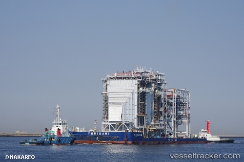
Dokai
Current StatusWhere is the vessel?
Dokai is currently in Near Miike, based on AIS data received about 22h ago.
Latest AIS update:
Current position: 32.97262° N, 130.38838° E (Near Miike)
Average speed (last 7 days): Loading…
Average speed (last 30 days): Loading…
Vessel profile: Dokai is a Tug with dimensions 10m x 40m.
This page combines live AIS, route history, probable destination signals, nearby traffic, and port activity for practical vessel monitoring.
The current position of vessel Dokai is 32.97262 lat / 130.38838 lng. Updated: 2026-04-09 02:30:58 UTCNearest reference points:
- Near YATSUSHIRO
- Near FUKABORI
- Near Fukushima, Nagasaki
Details:
Live Vessel Dokai Analytics (details, animations, etc.)
Recent AIS points (UTC):
2026-04-09 02:21:18 UTC · 33.00147, 130.38957 · SOG 10.9 kn · COG 217°2026-04-09 02:30:58 UTC · 32.97262, 130.38838 · SOG 11.2 kn · COG 159°
2026-04-09 02:30:58 UTC · 32.97262, 130.38838 · SOG 11.2 kn · COG 159°
2026-04-09 02:30:58 UTC · 32.97262, 130.38838 · SOG 11.2 kn · COG 159°