 vesseltracker.com
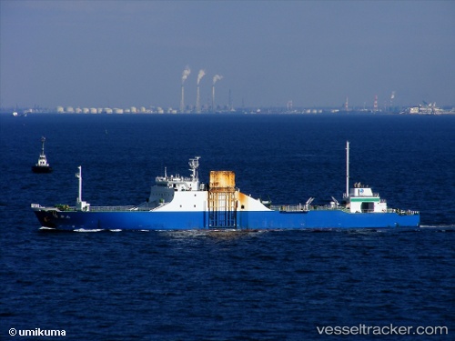
Rokuryu Maru
Current StatusWhere is the vessel?
Rokuryu Maru is currently in Near Urayasu, based on AIS data received less than 1h ago.
Latest AIS update:
Current position: 35.60604° N, 139.92918° E (Near Urayasu)
Average speed (last 7 days): Loading…
Average speed (last 30 days): Loading…
Vessel profile: Rokuryu Maru is a Ro Ro Cargo Ship with dimensions 18m x 115m.
This page combines live AIS, route history, probable destination signals, nearby traffic, and port activity for practical vessel monitoring.
The current position of vessel Rokuryu Maru is 35.60604 lat / 139.92918 lng. Updated: 2026-04-17 10:16:33 UTCNearest reference points:
- Near ANEGASAKI
- Near Aomi
- Near Kawasaki
Details:
Live Vessel Rokuryu Maru Analytics (details, animations, etc.)
Recent AIS points (UTC):
2026-04-17 04:09:04 UTC · 35.44635, 139.74934 · SOG 14.2 kn · COG 100°2026-04-17 05:40:33 UTC · 35.60514, 139.93024 · SOG 0.2 kn · COG 339°
2026-04-17 08:13:40 UTC · 35.60619, 139.92937 · SOG 0 kn · COG 155°
2026-04-17 10:16:33 UTC · 35.60604, 139.92918 · SOG 0 kn · COG 139°